
I'm a GIS/Cartographic consultant living in Perth W.A. I like to make intelligent and creative plans for environmental companies to assist them with their reports.
Environmental GIS planning and assistance in the subsequent areas: Annual Environmental Report, Groundwater Monitoring Report, Environment Management Plan, Site Management Plan, Waste Assessment, Discharge Water Monitoring, Sampling and Analysis Plan, Drilling and Soil Analysis Plan, Annual Marine Environmental Managing Plan, Waste Water Assessment Plan, Weed and Vegetation Management Inspections, Native Fauna and Flora Rehabilitation Plan and a Pipeline Vegetation Survey.
Provided environmental geographic information system skills and support on the Inpex job with regards to Flora Surveys, Vegetation Surveys, Intertidal Surveys, Water Quality Analysis Plans, Noise and Vibration Assessments and Turtle Monitoring.
Providing environmental GIS research and assistance with the sourcing of database information such as Geology, Bathymetry, Topography, Commonwealth Fishery Boundaries, DEC Marine Protected Areas, Aboriginal Heritage Sites, Marine Benthic Substrate Information, Tidal Information and Shipping Route Density.
GIS support was provided in the follow areas: Annual Environmental Review, Environmental Assessment Report, Perth Waterfront Master Plan, Acid Sulfate Soils and Contamination Report and Preliminary Site Investigation.
Environmental GIS planning and assistance in the subsequent areas: Geotechnical Investigations, Soil and Water Quality and Environmental Studies.
Providing geographic information system skills on various jobs concerning Flora and Vegetation Surveys, Conservation Investment and Management Plan, Annual Reports, Works Approvals, Clearing Permit Applications and Remnant Vegetation Analysis and Dieback Rehabilitation Investigations.
Environmental GIS support was provided in the subsequent areas: Water Management Plan, Commercial Development Report, Environmental Drainage Nutrient and Irrigation Management Plan, Groundwater Monitoring Plan, Urban Water Management Plan, Urban Water Management Plan and Graceful Sun Moth Report.
Providing Environmental GIS design and support with the Graceful Sun Moth Report, Mosquito Monitoring Program, Wetland Monitoring Program, Wetland Buffer Study, Wetland Boundary Assessment, Townsite Strategy Environmental Report and Groundwater Monitoring Plan.
Environmental GIS planning and assistance in the subsequent areas - Groundwater Monitoring and Management Report, Drain Monitoring Report, Risk Assessment Report, Dust Monitoring Interim Report, Investigation and Remediation Report, Recycled Water Quality Management Plan, Environment and Health Risk Assessment, Remediation Groundwater Management Plan, Remediation and Valdiation Report, Groundwater Remediation Report, Environmental Management Plan and a Soil Investigation Report.
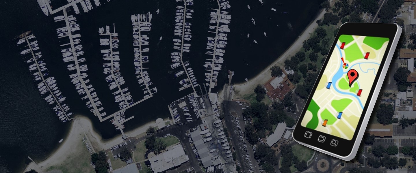
Providing GIS support and planning for the Point Grey Marina and the 260 hectare residential development which was successfully negotiated with the State Government agencies, the OEPA and the Commonwealth to secure approvals for the marina and residential development.
Environmental GIS support was provided in planning and assisting with Hydrology, Ecology and Environmental Approval reports.